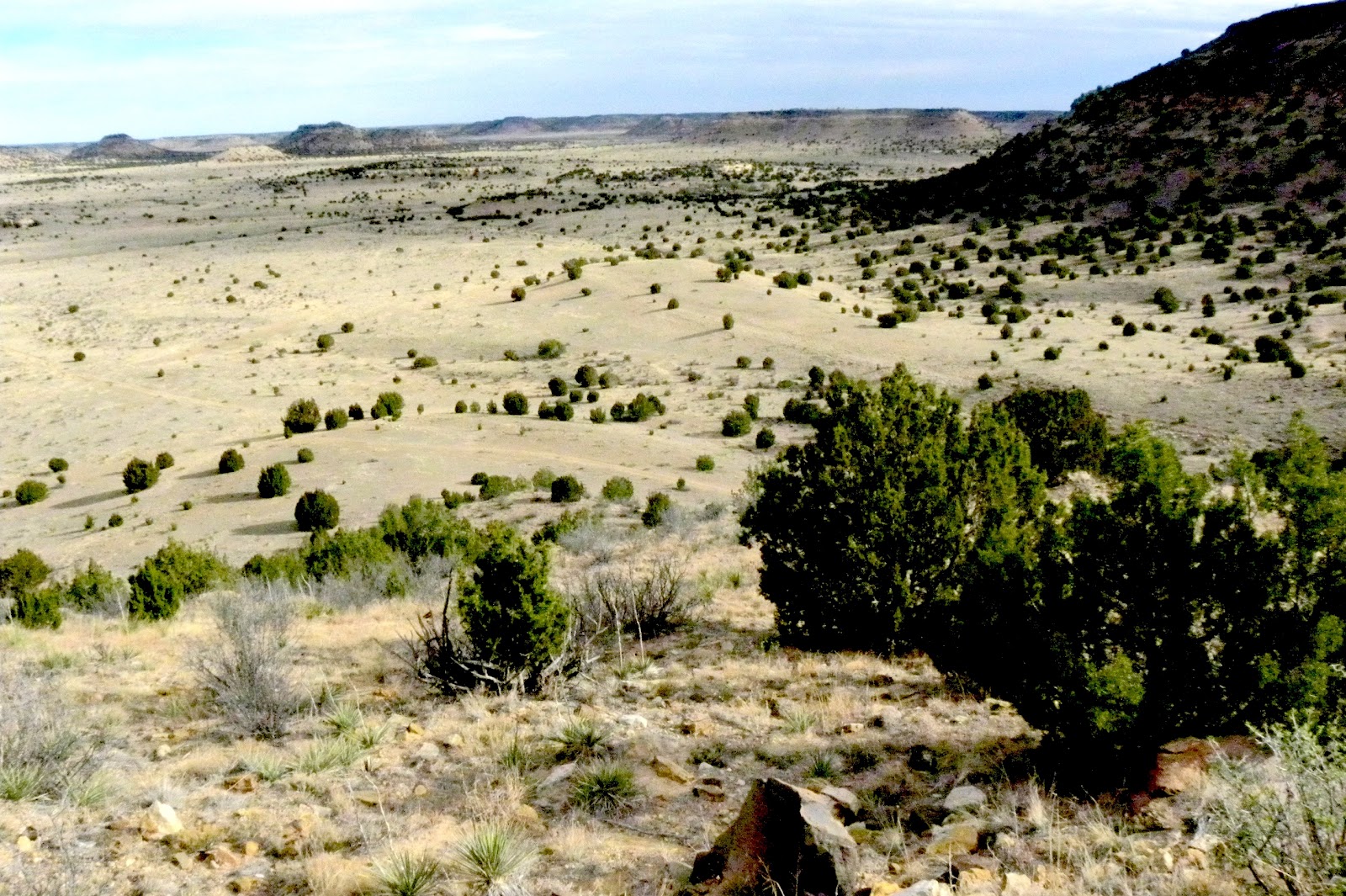
"When dawn spreads its paintbrush on the plain, spilling purple... ," Sons of the Pioneers theme for TV show "Wagon Train." Dawn on the mythic Santa Fe Trail, New Mexico, looking toward Raton from Cimarron. -- Clarkphoto. A curmudgeon artist's musings melding metaphors and journalism, for readers in more than 150 countries.
Showing posts with label Cimarron County. Show all posts

Tuesday, March 27, 2012

Geezer, God chat on top of Black Mesa

Old professor meets God while hiking on top of Black Mesa, Cimarron County, Oklahoma.

"Who are you?"
    "You can call me God, or Allah, or Yahweh or Odin or ...."
"I didn't expect you up here. And where's the long beard?"
     "You're lucky to meet me unexpectedly while you're still breathing. Most people meet me unexpectedly when they stop breathing. And I'm getting tired of the 'beard' thing. What gives you the idea I have a beard?"
"All the artists...."
    "Artists are great creative people, I like them, but I've not sat for one portrait. If you ask me, they took a little too much artistic license for that.  Beard? I've never shaved. Besides, your Scripture says I am a spirit, so what gender is that? A beard is just out of the question. Now what are you doing up here (as if I didn't know)?"
"Consider the yucca...."
    "Looking for beauty, and inspiration, and room to think."
"Have you considered the yucca? ( I know it's not like considering the lilies of the field, but hey, this is Black Mesa.)"
      "Well yes, I did when I brushed too close to it, and one of the spiny leaves struck my leg
"You should have been watching where you're going."
     "I was, but was looking ahead on the trail, wondering how much farther it was."
"So you missed the beauty of the stalk and flowers and the purpose-filled life of the leaves while wondering about the future?"
      "Hmm, never thought about that."
"I thought you said you came out here to think. Did you think about rattlesnakes? They're one of my best designs. Beautiful patterns, occupying areas others don't usually like. They keep those furry little varmints under control--I admit, I underestimated their reproduction ability."
      "Well, yes I did. It is too early for them, so I wasn't paying too much attention to the trail right under my feet."
"That's what's wrong with you Americans and humans--you look too far ahead, or you're always looking back  where you've been."
      "I only stopped at the rim to look back at the view."
"That's not what I meant. All this nostalgia stuff. You've been looking back ever since Moses wrote about the Seven Days. I'd hoped you'd 'evolved' since then (pardon the pun), but no, still hung up on how all this started. Get over it. It really doesn't matter. I'm here. You're here now.  Live now.
     "Hey, I'm a Texan and a Southerner, we grew up looking back."
"Exactly my point. Get over it. You read where you're made in my image? That means living now, not then, or sometime ahead. Present tense."
      "I was trying to do that up here."
"I'll admit you came to a good place to do that. I like high places."
     "Closer to heaven?"
"Stop it, no. I'm here. I know, I know, I made the low places too ( Great tune I put in Garth Brooks' head. and by the way, I have lots of friends like that--remember the 'eye of the camel' thing?), but they're for swamp people, and alligators, and such. Too much humidity for me. I like the free flowing wind and clear skies so I can see more of this masterpiece, especially before you people ruin it."
     "Hard to believe that up here in the middle of almost nowhere."
"Now you sound like that crackpot Senator Inhofe of yours. Honestly--no wait, that's wrong.  The evidence is everywhere, if you use the brain God (uh, Me) gave you. Just too many people--hmm, like those furry little varmints, and without natural predators, I underestimated your humans' love for copulation."
    "Most of us in Oklahoma don't use that word, but a much shorter one."
"I know, but it's much more sophisticated, which fits my personality."
    "So, do you have any more advice for me, other that watching where I put my feet?"
"I've had lots of advice for you people from The Beginning, and you mostly ignore it. Why do you ask now?"
   "I was trying to get you off politics. It's too pretty up here for that ugliness."
"By God (er, by Me), you're right. Enjoy your hike. Watch your present tense step, you might miss something important."

Saturday, March 24, 2012

Windmill country

Views from Cimarron County

I tried painting this this afternoon, but I'm not happy with the right side of the painting, Sleep on it, and add a little tomorrow, or crop it, as the second will show. But I'll paint this old one again soon. 9 by 12 140pound 'dArches paper


Wednesday, March 21, 2012

To the top of Oklahoma, and back

A hike to the highest point in Oklahoma, on top of Black Mesa at the tip of the panhandle in Cimarron County, is an adventure in endurance. It's more than an eight-mile round trip, and you better bring water and layered clothing, and a hat in warm or even spring weather, which is what I did...I wouldn't want to take it in August. Chilly when I started, I worked up a sweat climbing, and then needed my windbreaker again. Most of the trip is on level ground, but it's still at 4,000 feet or more, which is less oxygen than we flatlanders are used to, "downstate," as the Panhandle people refer to us.
   The first two miles are marked by benches and skirt the base of the sandstone mesa capped by a 10-million-year-old lava flow--hence the name Black Mesa. By the way, mesa is a Spanish word for "Table," inherited by us after 400 plus years from the Coronado and the Conquistatores, for table-like mountain.
  The immensity of the sky, and the quiet, the landscape captivates.
Here's the trailhead and mile one and two benches, all before you head up. It's also a Nature Preserve with more than 30 unique species there, and including Big horn sheep, mule deer,  and more. I saw only deer and coyote scat and meadowlarks and ravens.

This is where you turn toward the climbing at last. Ahead, the mesa towers about 1,000 feet above you.

After you start climbing, you reach the third mile bench, overlooking the edge, about 1/2 the way up. Above you, it looks daunting.
Behind you, you can see where you've been, including the trail you took to get here from bench two.

You stop to get your breath, and drink water. It get steeper. You notice the eroded sandstone that makes walking tricky and the lava at the rim, that vies the mesa its name.

 Ahead is the rim, and then the last leg to the top.

Once on top, it's level going for another distance. Finally you can see  the granite marker ahead, and then a sign.


Then you get to the marker, the highest point in Oklahoma. You sit down on a bench, thanks to a Boy Scout group, and look and wonder at the end of the Great Plains and beginning of the mountain West.

Next chapter, on the top of Oklahoma.


Black Mesa sunset

I stayed at Black Mesa Bed and Breakfast,  http://www.bmbb1.com/  before and after hiking more than eight miles to the highest point in Oklahoma, at the tip of the panhandle in Cimarron County.  More on that later. Here's a view from the front porch, with Black Mesa in the background.
And in the evening, after the 8.5 mile hike tot he top, including standing at the lip at the farthest left in the picture and painting, I sat on that porch, a cold wind blowing, and painted the sunset.
Black Mesa Sunset, en plein aire, 9" by 12" 140 pound d'Arches watercolor paper

Tuesday, March 20, 2012

My kind of roads

I hate lines of traffic, and stop lights, and Interstates, and straight, narrow subdivision streets and all city streets jammed with cars and trucks, and commuting. You almost can't breathe in Edmond and big cities. You forget nature and your senses and life, ruled by time and trivia.
     So my journey to the tip of the Oklahoma Panhandle this spring break was a journey to being alone, to hearing wind and meadowlarks, to hiking to the top of Black Mesa, to  open spaces and stories and imagination. It's a 350 + mile trip to Cimarron County, and the farther west you get, the better--fewer people, less traffic, wider skies, dryer landscapes and wider skies. County seat Boise City is closer to Santa Fe and Denver than OKC and Black Mesa and Kenton is another 40 miles. Some road signs out there made me realize I have some favorite kinds of roads. They match my personality, my temperament, my spirit.
     Probably the best are those with lots of curvy warning signs. They hint at adventure, something undiscovered, perhaps danger, and make you slow down to wonder what's ahead. And there's something around every bend, just like in life..something new, something interesting, something exciting, or boring or disappointing or who knows....
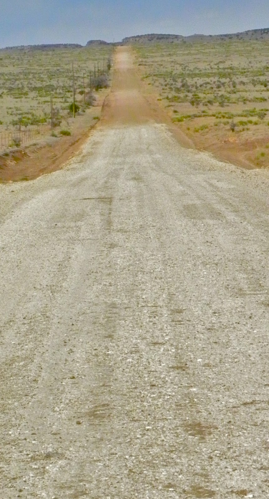
But there are straight roads I like too. Like those that remind me of the old song, "Look down, look down that lonesome road...." There are a lot of those out there, and I most like the dirt and gravel ones undulating over the hills. "What's ahead, what's ahead," I hear the whispers in my mind.
   What will I find, what will I see, who was here first, why is there a road here? Questions galore...and finally, my citified mind takes control and I think, "Turn around, you're wasting time." Such an obscenity, and affront to creativity, to discovery, to exploration, to change that breaks the rules of modern society.
   But it takes over, and I do, seeking other roads, other possibilities, rather than what is over the next hill. Wouldn't you really want to know?
   But I also like straight, paved roads--other than the one from Fort Sumpter to Vaughn, N.M., which is 70 plus mind-numbing straight miles that you dare not speed on, and which can hypnotize you. Instead, I like the ones where there is no traffic, no cops, no population--the "Blue Highways" of William Least Heat Moon. There are those out here in the Oklahoma Panhandle aptly named "No Man's Land." A car, or more likely, a pickup truck, in 40 miles is heavy traffic. The roads, like the one at the top of this blog title, or others, are where you look down in the early morning and for some reason the speedometer shows 80 or 90 or 100 mph--or slow down and stop in the middle of the road to take a photo of an old windmill, gate or abandoned house--and nobody cares or knows, as you speed along with your thoughts.
There are others, roads not taken. And you wonder where they lead.
But there's another road out here that fires my imagination also. This is where the Santa Fe Trail's (the 1800 international interstate from Missouri to Santa Fe) Cimarron Cutoff bypassed the Rocky Mountains at Raton Pass, and followed the mostly dry Cimarron River southwest, across what is now the tip end of the Oklahoma Panhandle, and entered what was then the Republic of Mexico, heading for the landmark Rabbit Ear Peak north of where Clayton N.M.is now.  It avoided the mountains but risked drought and the Comanches, from the 1830s for almost 50 years.   
A D.A. R. and historical marker marks the spot where it crossed  the current north-south pavement  showing the landscape heading southwest. I couldn't help but wonder if 150 years from now some historical marker would point out where our Interstates once were. No wonder I like the back roads.