The first two miles are marked by benches and skirt the base of the sandstone mesa capped by a 10-million-year-old lava flow--hence the name Black Mesa. By the way, mesa is a Spanish word for "Table," inherited by us after 400 plus years from the Coronado and the Conquistatores, for table-like mountain.
The immensity of the sky, and the quiet, the landscape captivates.

Here's the trailhead and mile one and two benches, all before you head up. It's also a Nature Preserve with more than 30 unique species there, and including Big horn sheep, mule deer, and more. I saw only deer and coyote scat and meadowlarks and ravens.


This is where you turn toward the climbing at last. Ahead, the mesa towers about 1,000 feet above you.


After you start climbing, you reach the third mile bench, overlooking the edge, about 1/2 the way up. Above you, it looks daunting.

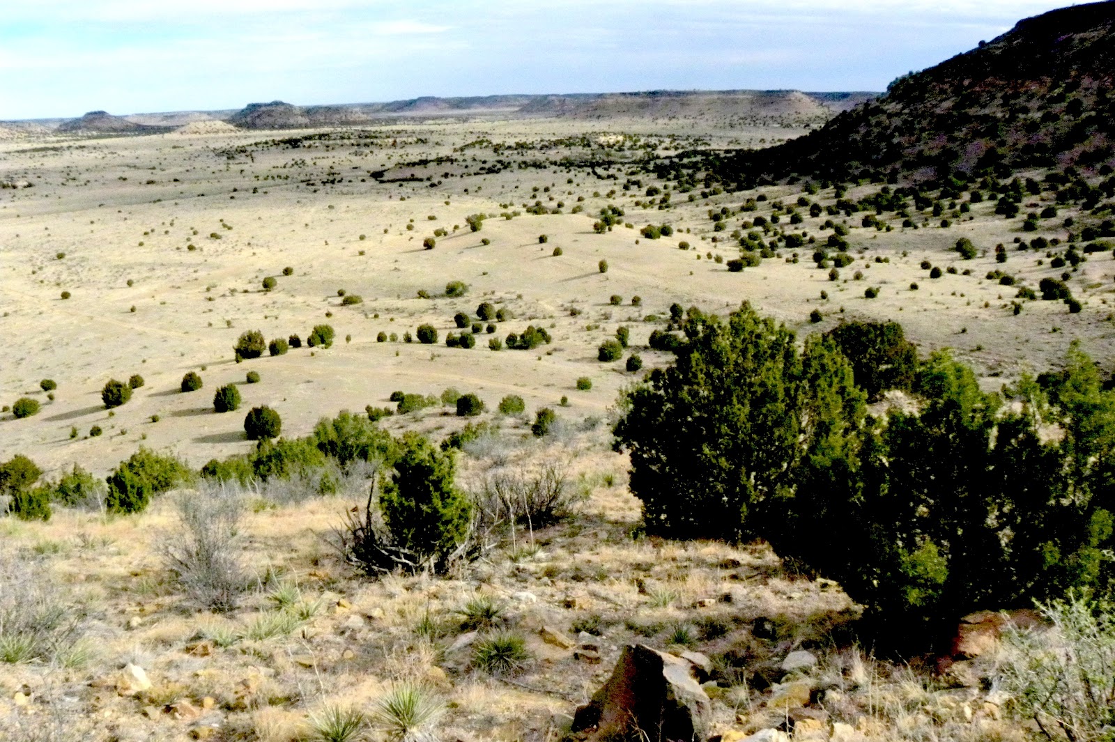
Behind you, you can see where you've been, including the trail you took to get here from bench two.

You stop to get your breath, and drink water. It get steeper. You notice the eroded sandstone that makes walking tricky and the lava at the rim, that vies the mesa its name.


 Ahead is the rim, and then the last leg to the top.
Once on top, it's level going for another distance. Finally you can see the granite marker ahead, and then a sign.

Then you get to the marker, the highest point in Oklahoma. You sit down on a bench, thanks to a Boy Scout group, and look and wonder at the end of the Great Plains and beginning of the mountain West.
Next chapter, on the top of Oklahoma.
Looks like a great hike. Thanks for sharing.
ReplyDeleteTy, a semi-wilderness trek
ReplyDeleteThis is now on my bucket list. For some reason I thought you could drive to the summit which didn't interest me. An 8 hour hike though...
ReplyDeleteI just checked no real geocaches but a virtual cache at the summit.